North Martinique is discovered exclusively by car — public transport is almost non-existent between villages, and distances are significant (1h-1h30 from Fort-de-France depending on destinations).
The main road of the North is the N2 (Caribbean axis) which runs along the west coast from Fort-de-France to Le Prêcheur via Schoelcher, Bellefontaine, Case-Pilote, Le Carbet and Saint-Pierre. It is a road of good quality, panoramic, but often slowed by local traffic at the exit of Fort-de-France. Plan 1h from Fort-de-France to Saint-Pierre, 1h15 to Le Prêcheur.
Beyond Le Prêcheur, the road becomes the D10 to Grand-Rivière: 30 km of narrow, winding and spectacular road, to be travelled carefully (1h additional). The D10 is a dead end — to reach the Atlantic slope (Macouba, Basse-Pointe), you must descend by the N2 to Saint-Pierre then take the N3 which crosses the island by the Trace pass (1h additional).
The N3 is the strategic road of the North: it connects Saint-Pierre to Sainte-Marie via the heights of the regional park (Fonds-Saint-Denis, Le Morne-Rouge), then serves Basse-Pointe and Macouba. It is the road to take to reach the JM distillery, the Morne des Cadets viewpoint and the parking of the Aileron trail (Pelée) start.
The secondary roads of the North (to distilleries, confidential beaches, B&Bs of the heights) are narrow and winding: careful driving imperative. Potholes are frequent on little-frequented roads. Night driving is discouraged in rural area.
Read also
- Saint-Pierre, the former capital — 1902 ruins, Frank Perret Museum, Pelée ascent trail.
- Martinique — Complete guide of the Island of Flowers: visa, budget, regions, climate.
- South Martinique — Les Salines, Le Diamant, Trois-Îlets: the seaside postcard of the island.
- Central Martinique — Fort-de-France and the wild Caravelle peninsula.
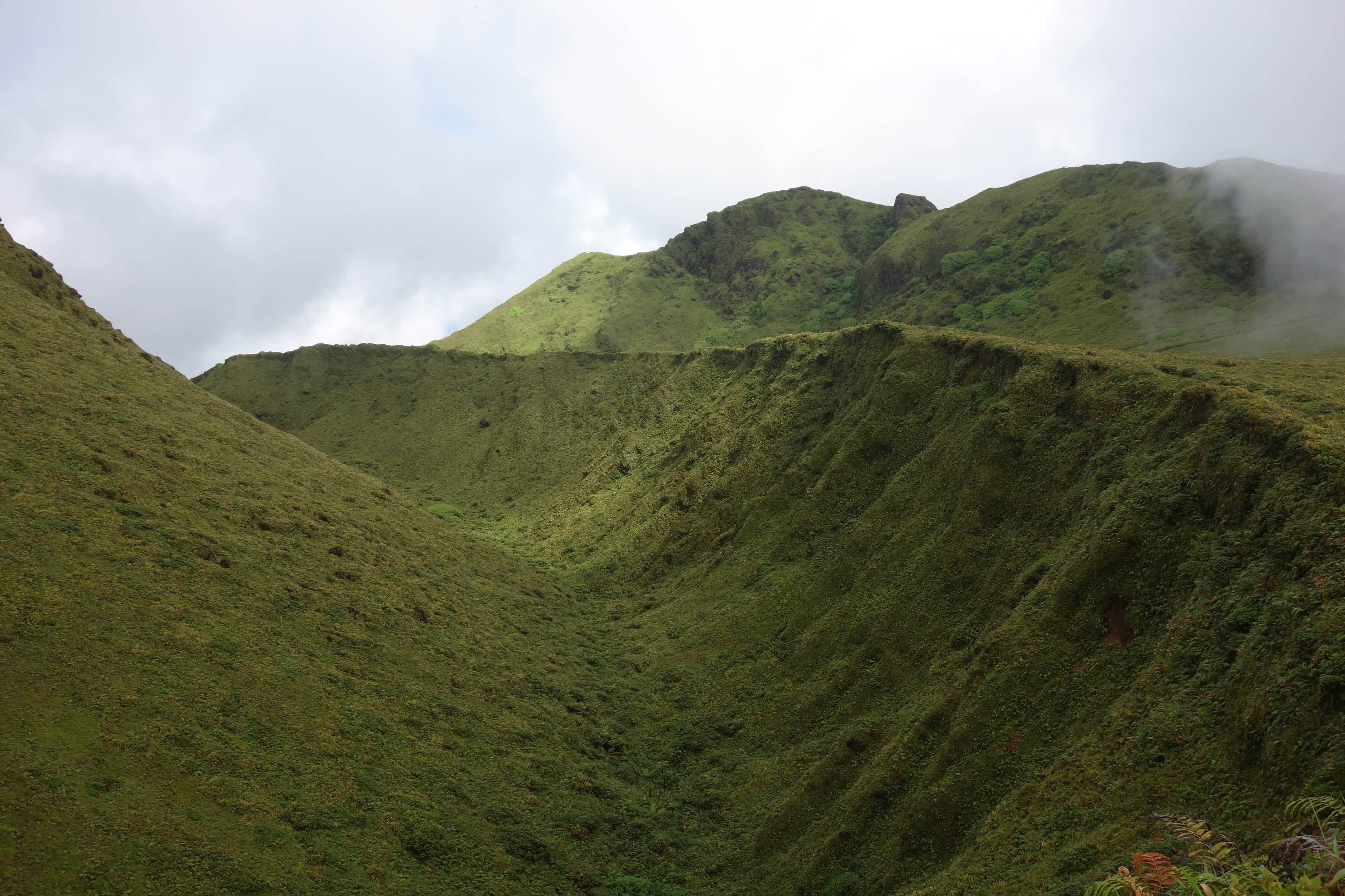
- Mount Pelée hike — Aileron trail: 5h round trip to the summit of the active volcano.