Iceland's South Coast is organised around Route 1 (Ring Road) which follows the Atlantic for 350 km between Selfoss (50 km east of Reykjavik) and Höfn (south-east). It is probably the densest stretch of natural sites on the entire Ring Road, with on average one major site every 20 km — waterfalls, black beaches, glacier tongues, iceberg lagoons.
The classic 2-day itinerary from Reykjavik is organised as follows. Day 1: early departure from Reykjavik, arrive at Seljalandsfoss around 9am (waterfall you can walk behind, 60 m drop, 1 h on site), continue to Skógafoss (40 km, another emblematic 60 m waterfall, 30 min), optional glacier hike on Sólheimajökull (3-4 h, €90-150), Reynisfjara (black beach, 5 km before Vík) and Vík village (overnight, 1 h to explore).
Day 2: early departure from Vík, crossing the Skeiðarársandur (vast sandy plain formed by Vatnajökull glacial floods), arrival at Vatnajökull National Park and the Svínafellsjökull glacier (glacier tongue accessible on foot, 30 min), arrival at Jökulsárlón (glacial lagoon, 200 km from Vík, 3 h drive with stops) around 2pm, zodiac tour (45 min, €60-90), Diamond Beach opposite the lagoon (black sand with glittering iceberg fragments, 30 min), overnight at Hof, Hali or Höfn.
Day 3: direct return Höfn-Reykjavik (450 km, 6 h) stopping at missed sites if any, or extension toward the east fjords (Route 1 north to Egilsstaðir, 250 km, 3-4 h) for travellers on a longer road trip (full Ring Road).
Read also
- Jökulsárlón, glacial lagoon — Iceland's most famous lagoon: floating icebergs, Diamond Beach and zodiac tours.
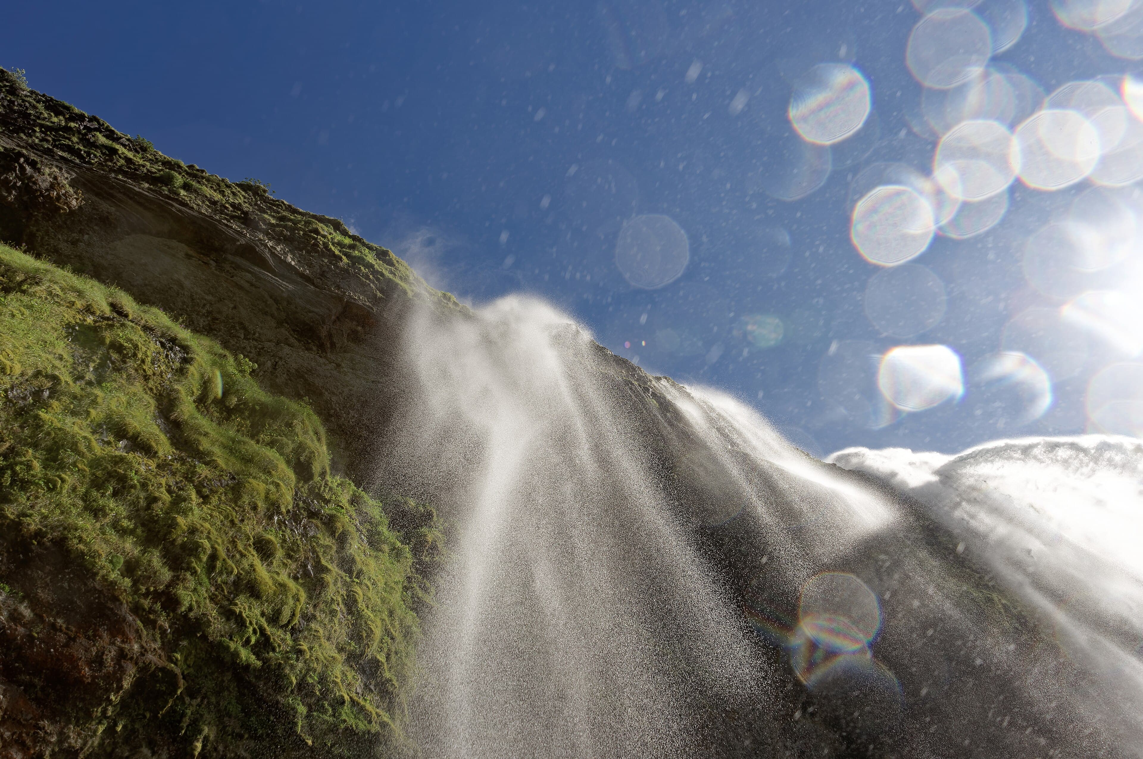
- Seljalandsfoss, the waterfall you walk behind — 60 m drop you can walk behind via a wet trail — an unforgettable experience.
- Vík and the black Reynisfjara beach — Black volcanic sand beach with sea stacks and a basalt-columned cave.
- The Golden Circle — The Þingvellir-Geysir-Gullfoss loop, the natural complement before the south coast.